Geowings
The international specialist for surveying, data analysis and geodata services.
Geowings began as a local engineering office and has grown into an international organisation providing individual and specialised services and solutions in surveying and geodata processing worldwide. With more than 30 years of experience in surface and underground mining in the stone and quarry industry, we are your professional partner.
Geowings comprises separate business units specialising in different fields. Each business unit provides skilled, specialist services and products.
Survey
Worldwide aerial, marine, terrestrial and underground surveying and data collection using the latest surveying technologies and techniques..

Data
Processing, evaluating and computing data, creating three-dimensional maps and analysing geodata

The different business units work together as well as with partner companies in many countries, ensuring you always get the best solution for your needs. We not only provide fully integrated solutions that cover data collection and evaluation through to presentation, but also stand-alone systems from just one of the specialist areas. We advise and quote on professional and sustainable solutions to meet your specific needs throughout the world.
Pofessional, Sustainable, Worldwide.
years of experience
Survey
Our team at Survey has over 30 years of experience in providing professional services in all aspects of aerial, marine, terrestrial and underground surveying.
We are equipped with the latest surveying equipment and combine tried and tested products with the very latest innovations and technologies. We use the best equipment and technologies corresponding to specific circumstances and needs, ensuring high-quality surveying and results you can depend on.
Our years of international experience, professionally trained staff and standardised processes using the latest hardware and software have resulted in a constantly expanding customer base.
We are happy to not only undertake standard surveying tasks, but also complex and challenging projects.
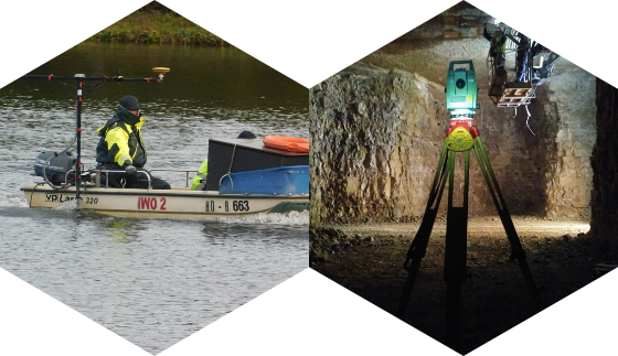
Typical areas of work
- Mining and open pit surveying
- Aerial survey/photogrammetry
- Echo sounder seabed surveying
- In-construction surveying
- Industrial plant surveying
- Engineering surveying
- Supply and disposal pipeline surveying
OF YOUR DATA
Data
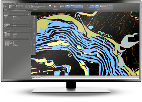
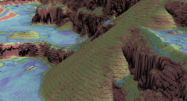
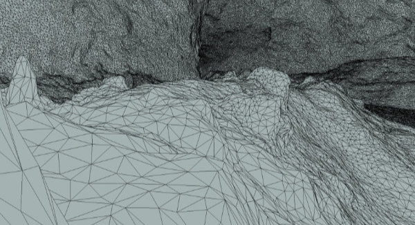
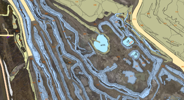
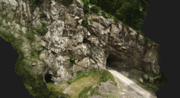
Our Data team processes, analyses, calculates and visualises geodata from field surveys or other geodata sources.
Typical tasks:
-
Annual statements
(production, stocks, etc.) - Inventory/stock
- Extraction and waste
- Mining planning
- Exploration
- Deposit modelling
- Quantity controls for subcontractors
-
Deformations / ground movements
(e.g. landslides) - Pipeline documentation
- Property/land management
- Approvals applications
- Geology and hydrogeology
- Recultivation/preparation
- Fire-service deployment plans
ANYTIME. ANYWHERE.
Software
Our core competence is the development of software products to digitally manage your geodata and technical information.
The reGISter portal simplifies your company‘s data management procedures and has many theme-based functions to improve communications and processing.
Visualisation of your data in different map types gives you the perfect overview and enhances understanding of the information.
Find out how it works:
Consulting
We work with you to develop optimal and sustainable solutions for your company’s specific requirements.
You benefit from our many years of experience and know-how, and we support your company in all projects involving geodata and surveying.
Our team at Consulting work together with you and our specialist business units to develop your company’s own standards and processes for a cost-effective and efficient future.
We will be happy to advise you on specific situations, and will work with you to find the best possible solutions. We are also available to assist in implementation and optimising processes when required.
We have extensive experience from international projects, e.g., in Africa, North and South America and the Middle East, enabling even remotely located branches of your company to use central standards and specifications in a sustainable way. Requisite resources and staff are often available locally, but require appropriate training and instruction.
For many years, we have been working with our partner, the Georg Agricola University of Applied Sciences in Bochum (TH Georg Agricola), to develop specialised and unique products and processes. As a result, we have long been using innovative in-house products, especially for the stone and quarry industry. These products continue to be developed in close cooperation with the university.
State-of-the-art surveying equipment
We always use the very latest surveying equipment in our wide-range of surveying projects for the stone and quarry industry. These not only include standard instruments such as total stations, GPS systems and digital levels, but also specialist equipment for special requirements.
Examples of these include:
AERIAL surveying
- Drones
(copters, fixed-wing aircraft, VTOLs) for small to medium-sized survey areas - Manned survey flights
for large-scale survey areas
MARINE surveying
- Multibeam sonar
(echo sounder) for detailed scanning of seabed areas
TERRESTRIAL and UNDERGROUND surveying
- Inclinometers
to detect minimal ground movements - Scanners
for the detailed detection of objects by means of coloured mass dots - Surveying gyroscope
for 'geographical northing'
From the many years of experience we have gained in the stone and quarry industry, we have created many internal workflows to produce a wide range of task-based data.
Included here is the generation of intermediate data that can be further processed in specialist departments, e.g., orthophotos, 3D terrain maps and digital terrain models (DTMs).
For efficiency and precision, the workflows use the latest professional hardware and software solutions, ensuring you always get robust and accurate results.
The Geowings Data team also assists in creating standardised processes for managing geodata in your company. We will be happy to answer any queries you have regarding geodata and evaluations, and are available with support to meet your specific needs.
